I was thinking about how to encourage citizens of the United States to feel more of a connection with people around the world.

 I’ve always loved maps.
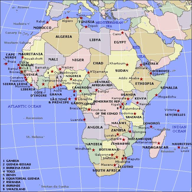
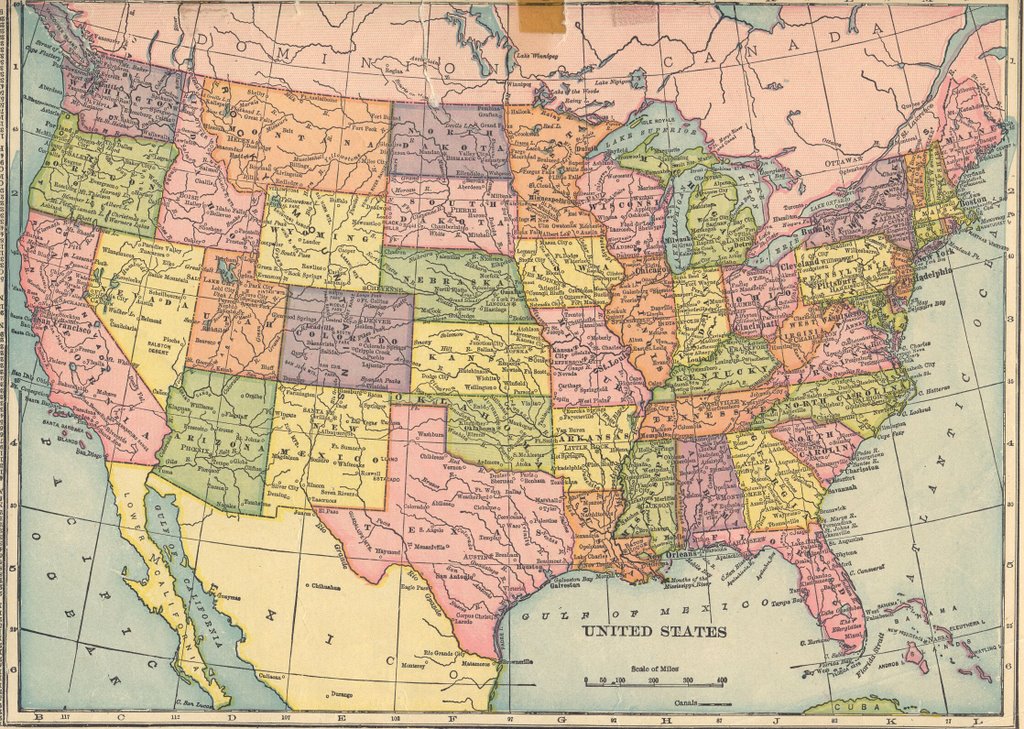
I’d like to see a map of the United States morphed into the shape of Africa so that each state was overlaid onto outlines of the African countries. And vice versa – how do the countries of African fit over the states of the US.
Animations of these would make cool videos for YouTube.
And further – how about a data base so that:
According to Wikipedia, there are 61 territories in Africa so it would be interesting to see how these match up with the 50 states in the US. Which is most similar in population, type of industry, geography, etc. That way if I lived in, say, Oklahoma, I could see what countries had the most in common with my state.
And take it even further – what towns have the most in common with the town I live in.
And further – within a given country – show a profile of someone who has a similar place in society in terms of sex, age, class, education, line of work, etc.
Does anyone know if anything like this is out there? Or who might be interested in creating such items? And what groups would be interested in using them and help publicize them?
 I’ve always loved maps.
No comments:
Post a Comment